Annapurna is a regional name, not a single view. A photograph of a snowy ridge tells you little about the village where you will sleep, the approach you will use or how much of a day will be spent travelling. Start by giving your idea a more precise setting.
Three different starting points
The Nepal Tourism Board describes a region that includes forested middle hills and drier northern country. It places Ghandruk among the southern village journeys, Manang along the Marsyangdi approach and Jomsom among the destinations associated with the Kali Gandaki side. These are useful distinctions for an initial shortlist, rather than interchangeable names on one itinerary.
| Setting | What to look at | A question for planning |
|---|---|---|
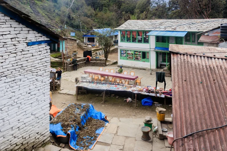
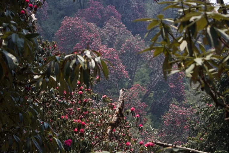
| Southern foothills | Forest, cultivated slopes and villages such as Ghandruk | How much time is reserved for the village itself? |
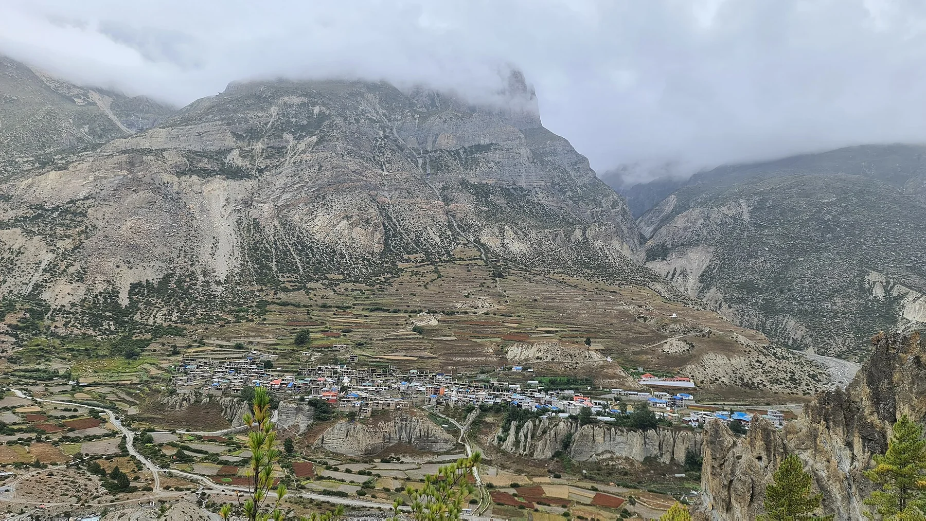
| Manang side | Rocky northern country and distinct settlements | What does the full approach involve? |
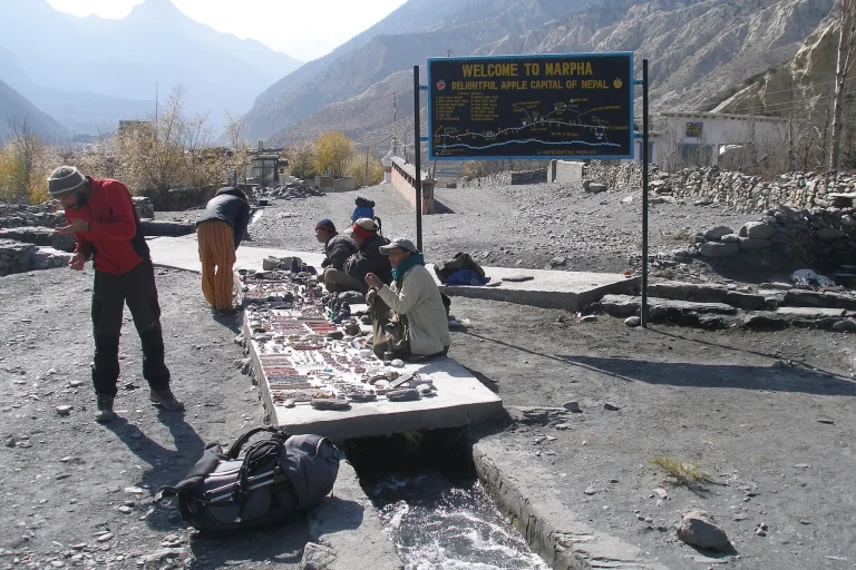
| Kali Gandaki side | Valley settlements, including Marpha | Which stops are part of the plan, and which are only passed through? |
Describe the days between the photographs
Write a short description of the experience you want. You might value a settled base and time to notice farming and village architecture. Another traveller may prefer a journey that moves between markedly different landscapes. Neither description is a complete itinerary, but each makes it easier to explain your priorities to an operator.
Ask for the actual sequence of overnight places and transfers. Keep travel stages, walking stages and unallocated time separate on the page. A journey with several named highlights can still leave little time at any one of them. If the schedule is hard to explain without abbreviations, ask for a plain-language version before comparing prices.
Read images as records of a place
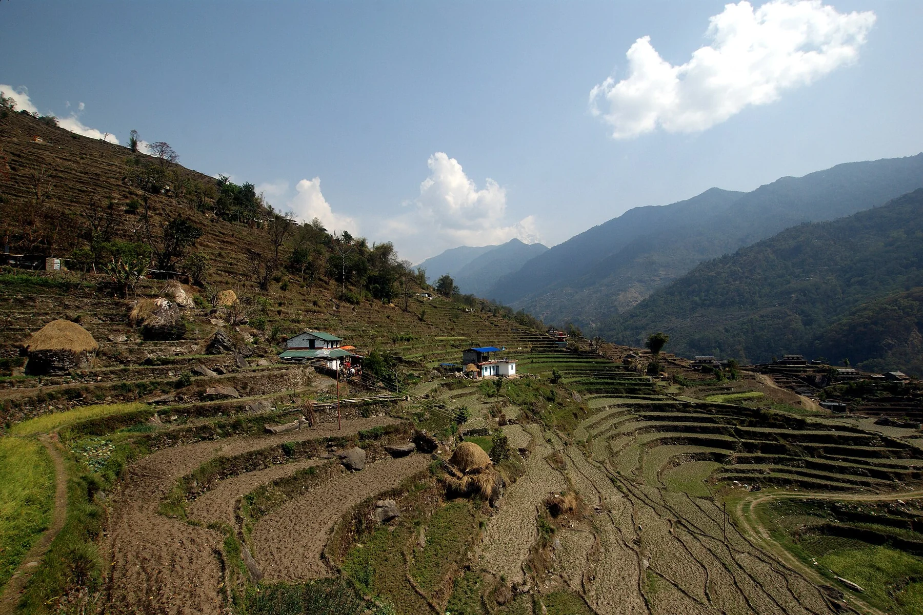
A cultivated hillside belongs to a working landscape. A town beneath a dry ridge remains a place where people live. Look at captions, dates and the scale of buildings as well as the mountain backdrop. Our photographs are documented views from different years and seasons; their arrangement is not a promise that the same conditions will occur on one trip.
Use the Ghandruk guide to think about time in a settlement, or the planning guide to turn a shortlist into questions. Confirm the exact route and current requirements with the responsible sources before booking.
Regional reference: Nepal Tourism Board: Annapurna Region. The comparison and planning questions are editorial guidance, not a navigation map.